Bristol Bridge walk
Route
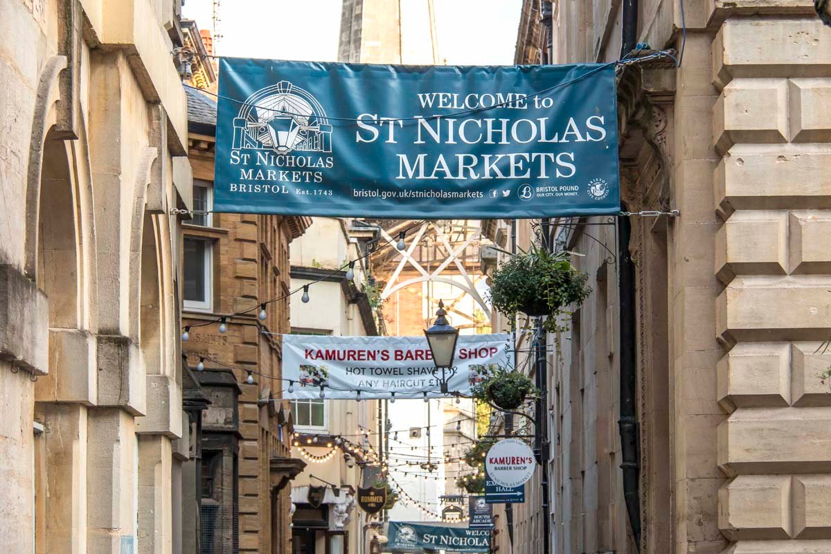
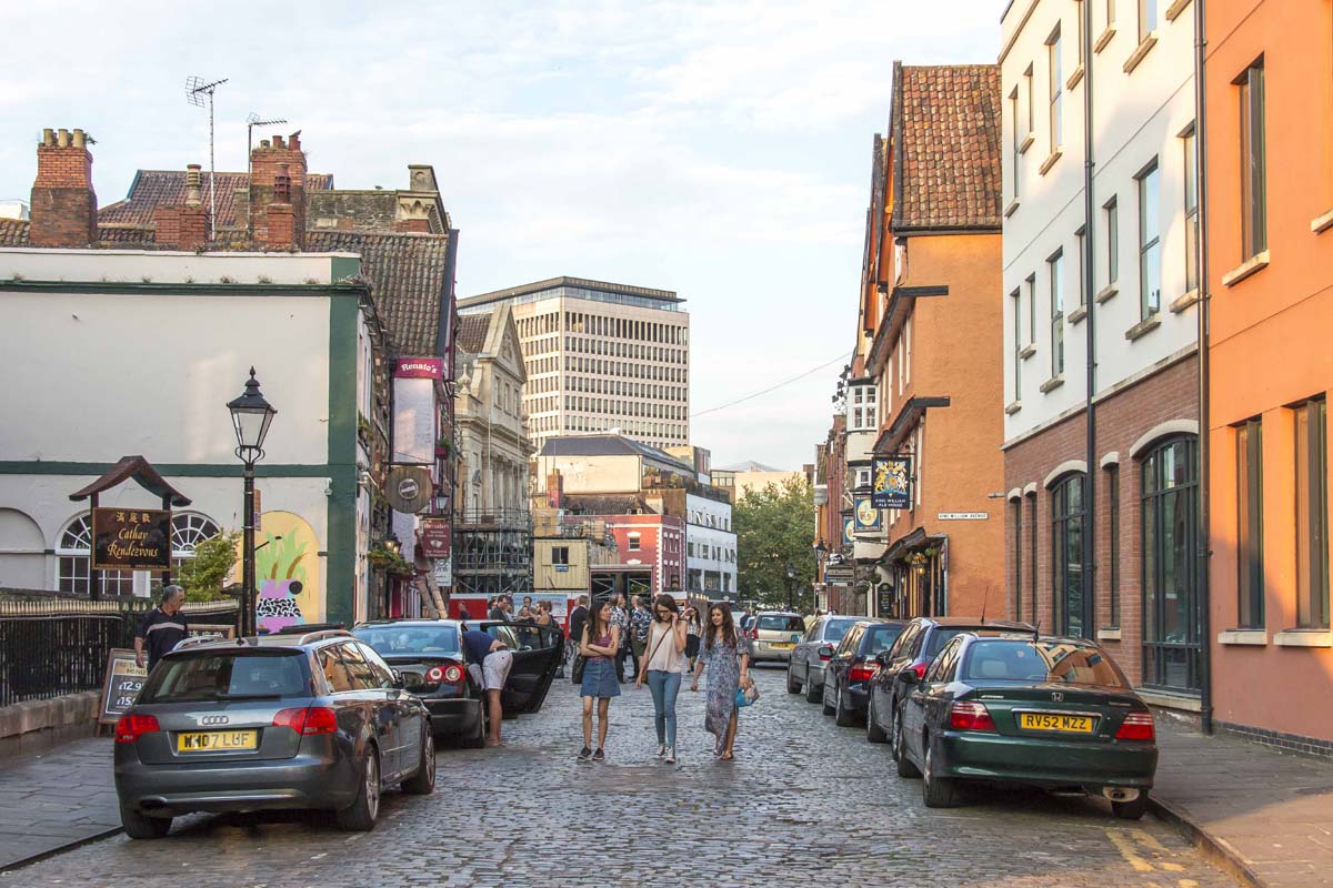
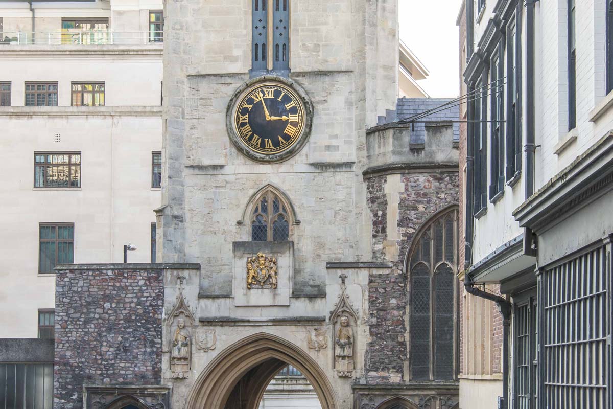
Bristol Bridge - High Street - Wine Street - Pithay - Tower Lane - Broad Street - Corn Street - Small Street - St. Nicholas Street
Walk difficulty
Easy
Distance
1.53 km
Map
Coordinates
Latitude: 51.453639
Longitude: -2.59129
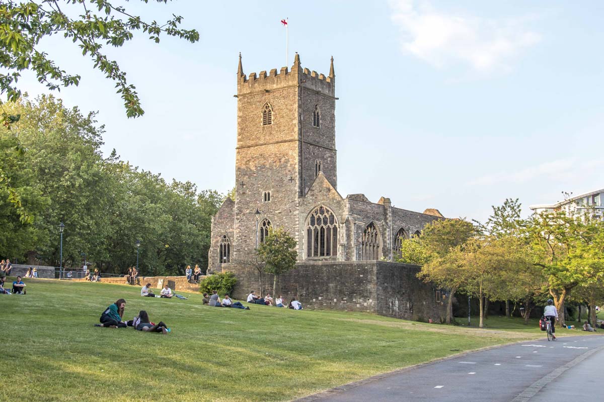
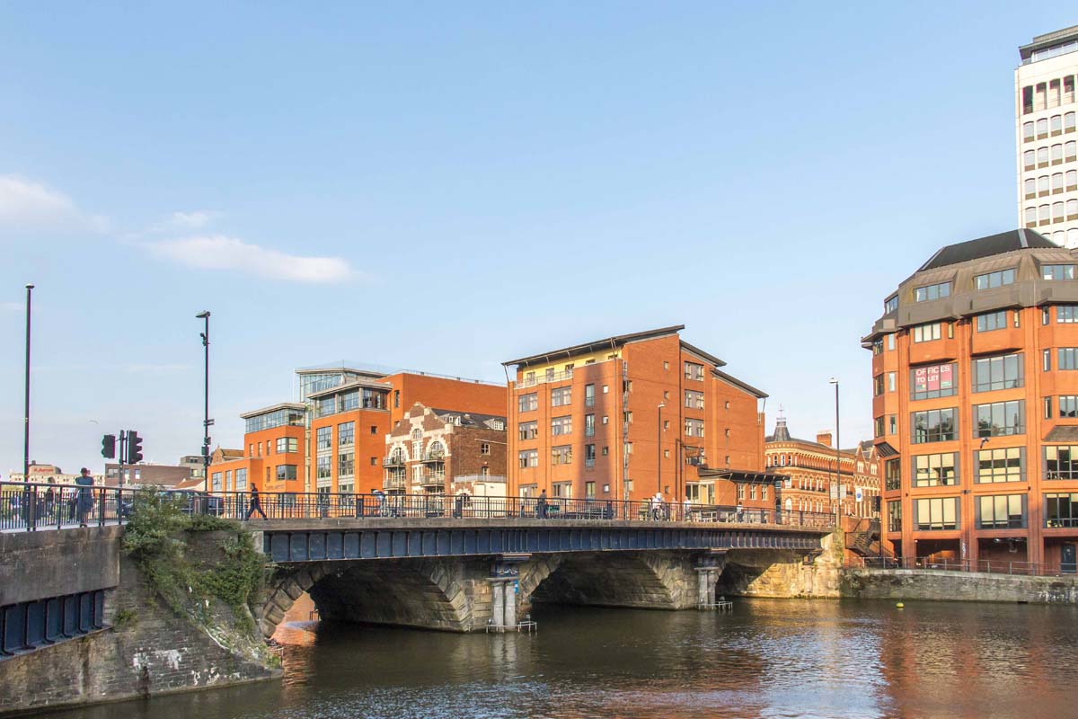
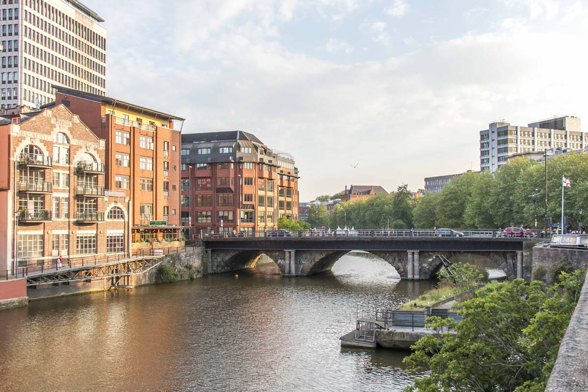
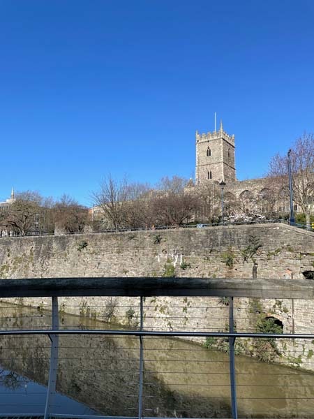
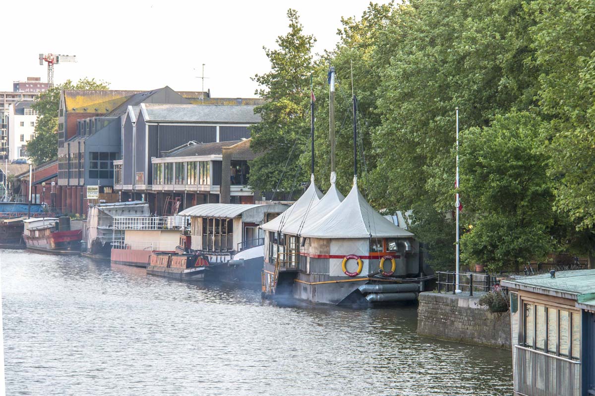
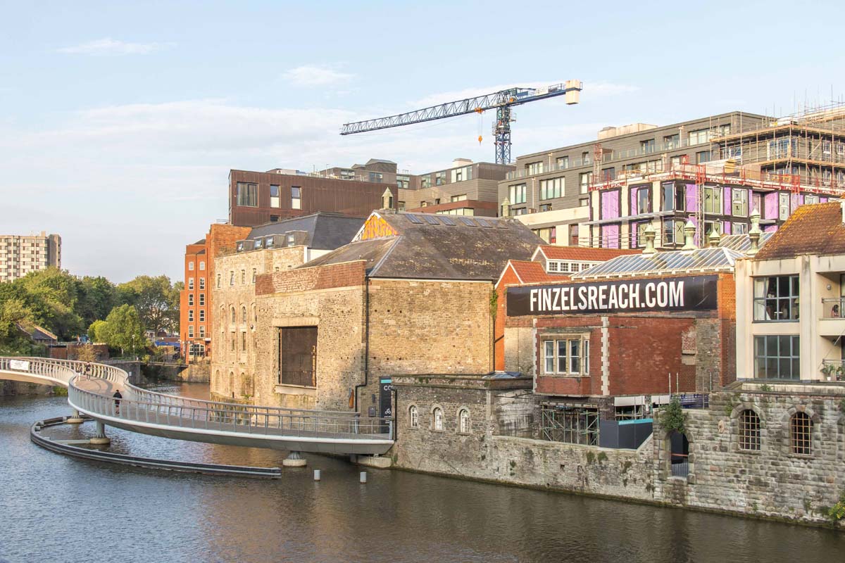
Archaeological finds have shown that there have been settlements in and around the Bristol area for up to 60,000 years. However, it is still being determined exactly when the first bridge over the River Avon was built. The river itself has a wide tidal range, second only to Canada’s Bay of Fundy and rivalling that of Ungava Bay, also in Canada, and so could only have been forded twice a day. This significant crossing gave Bristol its Anglo-Saxon name ‘Brycgstow’, the meaning of which is ‘bridge-place’. It may be that former bridges were situated slightly upriver and nearer to St. Peter’s church, the ruins of which can be seen from the existing bridge.
Bristol Bridge, which was originally constructed of wood. This was replaced, in 1247, by a four-arched bridge constructed in stone. Many houses with shopfronts were built upon it. These bridge houses were up to five stories high, including the attic rooms, and they overhung the river much as Tudor houses overhung the streets. Eventually, the bridge became too small for modern traffic and, in 1768, a bill was passed through parliament, by the Bristol MP Sir Jarrit Smyth, for it to be replaced with the one you see today.
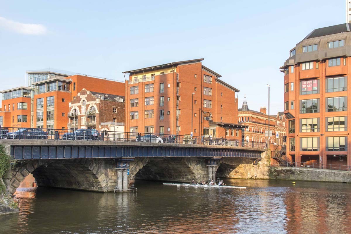
As Bristol expanded and joined the southern bank of the river, the size of the city was effectively doubled. This gave the bridge and its location an even greater significance. So much so that, in September 1793, a Georgian bridge toll was implemented. This was the cause of so much indignation that it gave rise to one of Bristol’s bloodiest riots. Although the Georgian bridge still remains the roadway was later expanded during the reign of Queen Victoria to accommodate the increasing tide of people and goods through the south gate of the city.
Author: Andrew Talbot
Categories Related walks